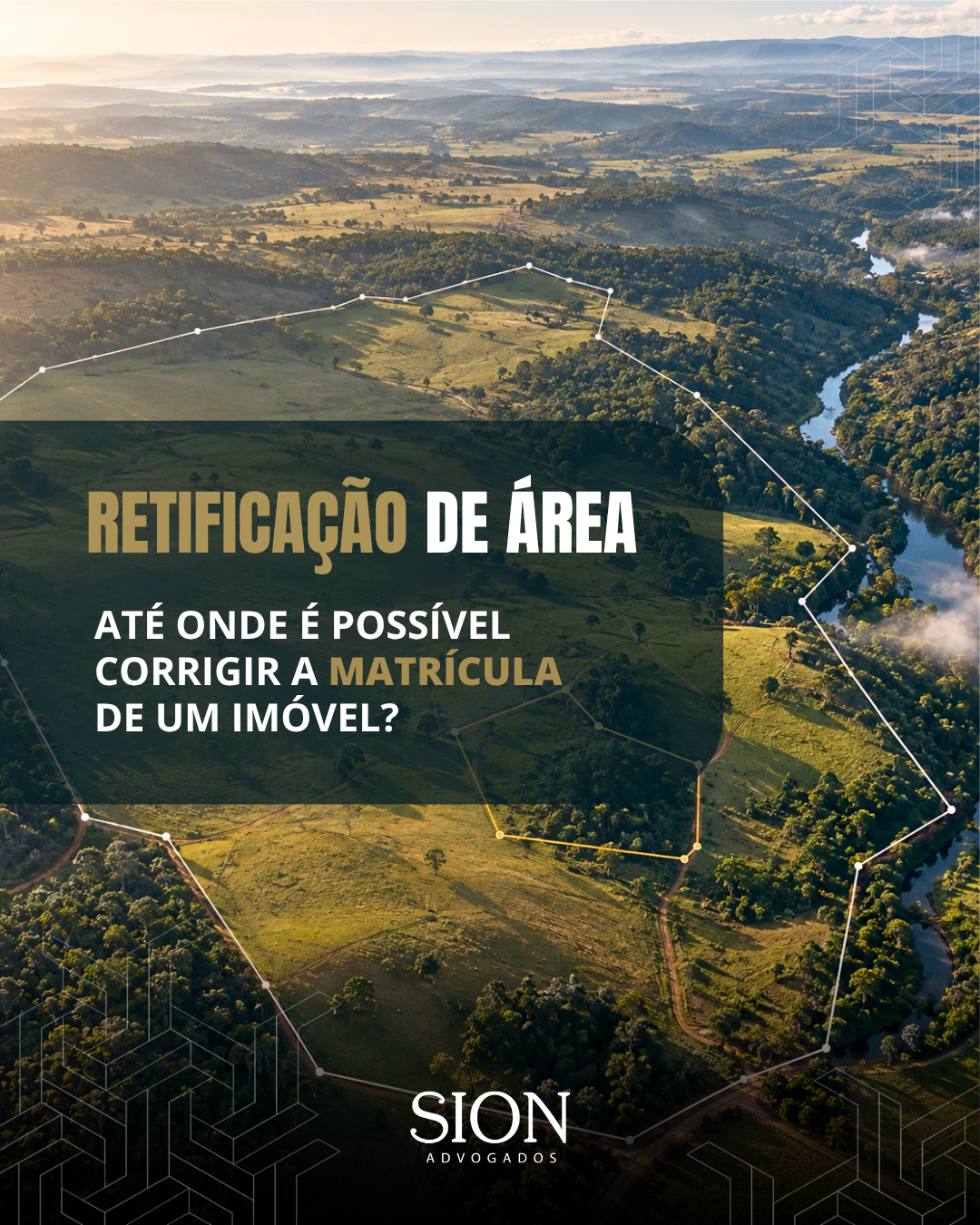
Area correction makes it possible to align the registry with the actual condition of the property when a new survey identifies differences in measurements or property boundaries. However, this procedure has limitations.
In a recent ruling, the Court of Justice of Minas Gerais (TJMG) upheld the denial of an area correction request that sought to change the registered area from 4.50 to 91.5951 hectares, an increase of approximately 2,000%. According to the Court, a discrepancy of this magnitude may indicate acquisition of land through adverse possession or through an unformalized legal transaction, exceeding the scope of a simple administrative correction.
See our analysis and the main points of the decision.